Exploring Our Planet: How Montessori Geography Helps Children Understand Their World
Between family travel, conversations at home, and listening to stories, young children hear all sorts of phrases about our planet. They might hear adults talk about traveling around the world, living on the other side of the globe, or watching the earth turn. Young children naturally absorb this language, yet their developing minds require concrete experiences to truly understand what these vast concepts mean.
Over a century ago, Dr. Maria Montessori noticed how deeply younger children were drawn to the globes used by older students. Through careful observation, she realized that children long for a tactile, hands-on understanding of our planet.
From Concrete Experience to World Mapping
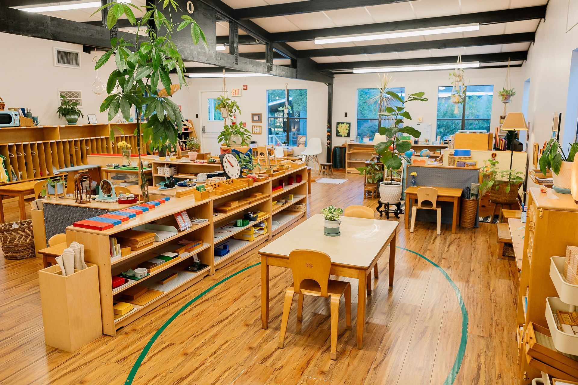
At Northwood Montessori School, we offer beautifully crafted, hands-on materials that allow children in our Primary environments to physically explore abstract concepts like land, water, and continents.
- The Sandpaper Globe: We begin with a small, focused globe where land surfaces are covered in rough sandpaper and water surfaces are smooth blue paint. Children run their fingers over the surface, gaining a tactile understanding of how land and water are distributed across the earth.
- Land and Water Forms: Children explore three-dimensional tray models representing geographic features such as islands, lakes, peninsulas, and gulfs. By pouring water into the blue-painted basins surrounding the brown landforms, they see and feel how land and water interact. We pair this hands-on work with photo folders showing real-world examples of these geographic features from around the globe.
- The Continent Globe: Next, we introduce a globe where each continent is painted a distinct color, such as green for Africa, orange for North America, and pink for South America. This exact color coding stays consistent across all Montessori geography materials, aiding visual memory and natural association.
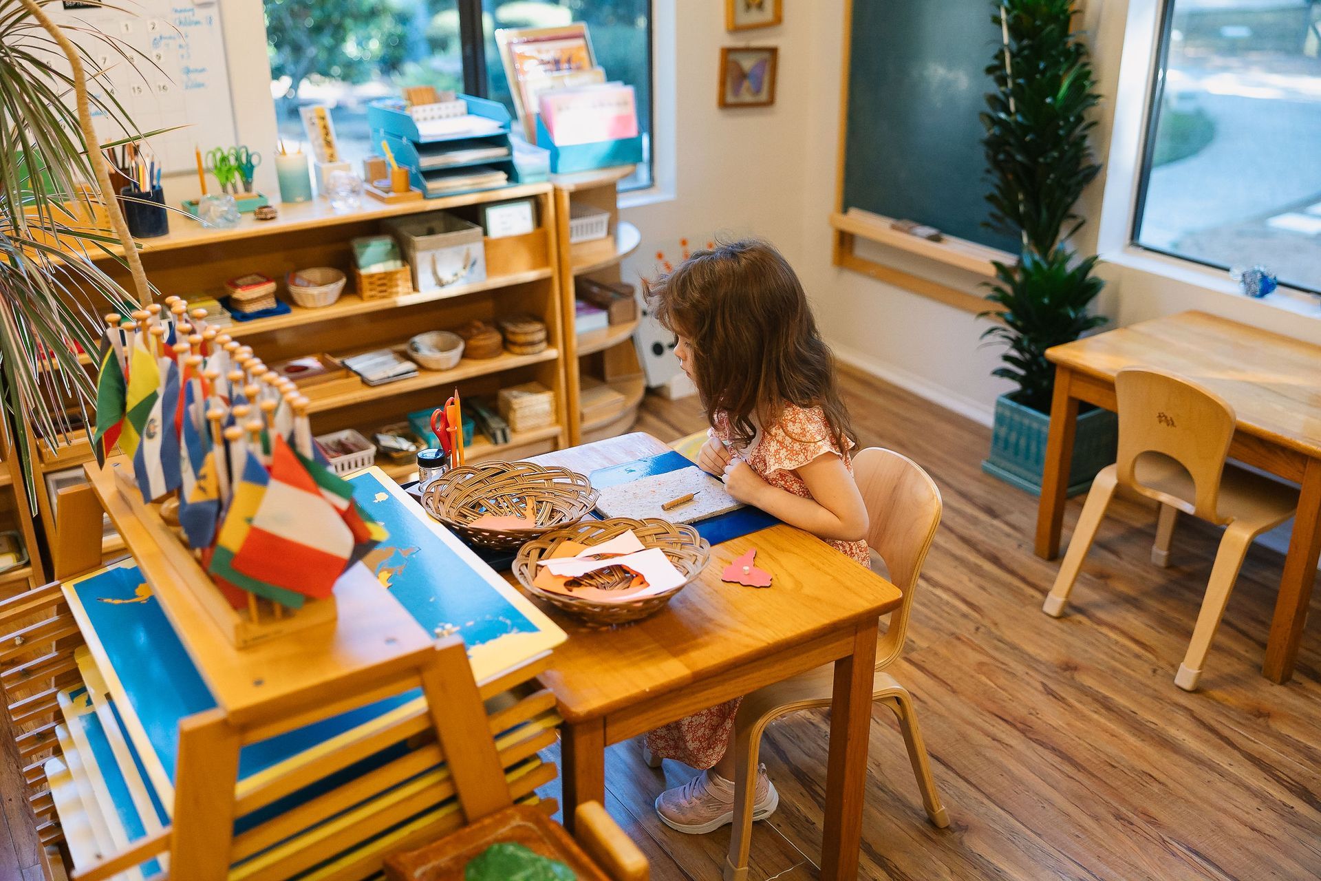
- Puzzle Maps: Once children understand the sphere of the globe, we show them a flat puzzle map of the world divided into the Eastern and Western hemispheres. Later, children work with detailed puzzle maps of individual continents, where each country is a removable piece with a pin handle positioned precisely at its capital city.
Primary children initially engage with these maps in a purely sensory way, taking the pieces apart and carefully fitting them back together. As they work, Guides gently introduce the names of continents and countries. Young children absorb this rich vocabulary effortlessly, often developing the skill to trace country outlines, label their own hand-drawn maps, or even identify a country by touch alone.
Cultivating Appreciation for Humanity
While these geography skills are remarkable, our goal at Northwood goes beyond memorizing facts and place names. Our deeper purpose is to help children understand their place in the world, appreciate the unity of humanity, and respect the wonderful diversity of cultures across the globe.
To support this understanding, our environments include curated photo collections organized by continent. These images offer authentic glimpses into daily life around the world. Children observe how families everywhere share the same fundamental human needs for food, shelter, clothing, and transportation, while discovering the creative ways different cultures adapt to their physical environment.
Through these intentional experiences, children build a genuine relationship with the world around them. They move from simple physical discovery to a deep, lasting respect for our shared home and all the people who live on it.
We invite you to
schedule a tour of Northwood Montessori School to observe our Primary students engaged in geography work firsthand.
You might also like